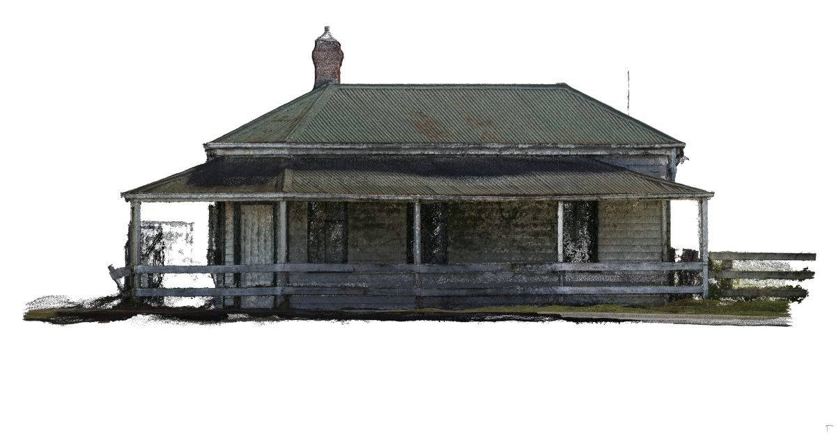
Prior to its relocation, this timber-framed, weatherboard clad building situated at the original corner of Princes Highway and Sale-Heyfield Road was documented through the process of photogrammetry.
A digital model of the structure was produced by taking 446 photographs covering its external faces and corrugated iron sheet roof. Using Agisoft Metashape™ the photos were compiled, aligned, and processed, generating a dense point cloud representing the geometry of the building. Computer processing time took approximately 36 hours, after which the dense point cloud comprising approximately 23.3 million points was created and from this a polygonal surface mesh was developed consisting of approximately 4.3 million faces.
The last step in the process was the creation of a texture derived from the photographs, which was then applied to the mesh to produce a photo-realistic 3D textured model. This was then exported as a model and also as orthographic images that were used in aid of producing scaled building drawings and elevation profile illustrations.
