Williamstown was once envisaged as the main settlement of Port Philip Bay. Named in 1837 after the ruling British monarch, William IV, the peninsula was a vital port and thriving settlement, even as Melbourne gained ascendancy.
Today, Williamstown’s maritime connections remain active, though the Naval Dockyard no longer builds and repairs ships at the level it had once done, and there is no longer the influx of passengers and freight. Recreational yachting is now the most visible use of the shoreline that faces Hobsons Bay, along Nelson Place.
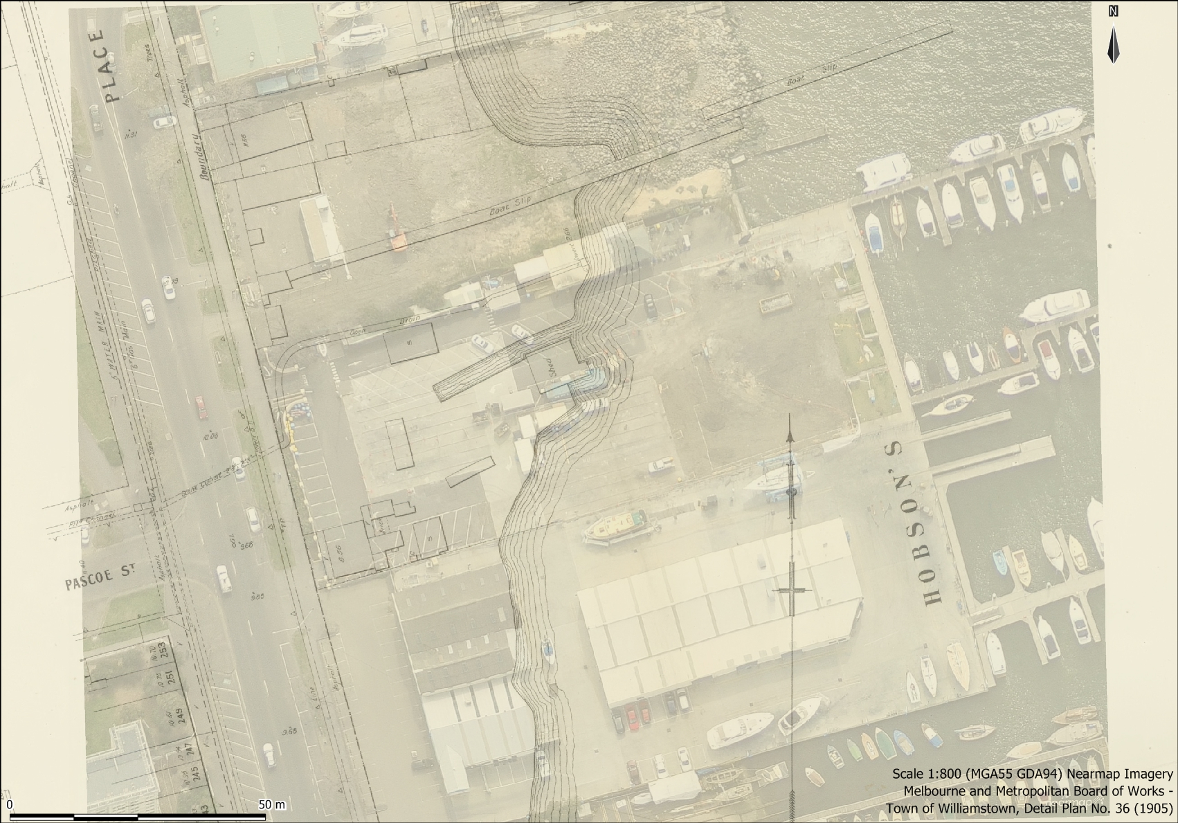
MMBW 1905 Map overlaid on 2014 aerial imagery
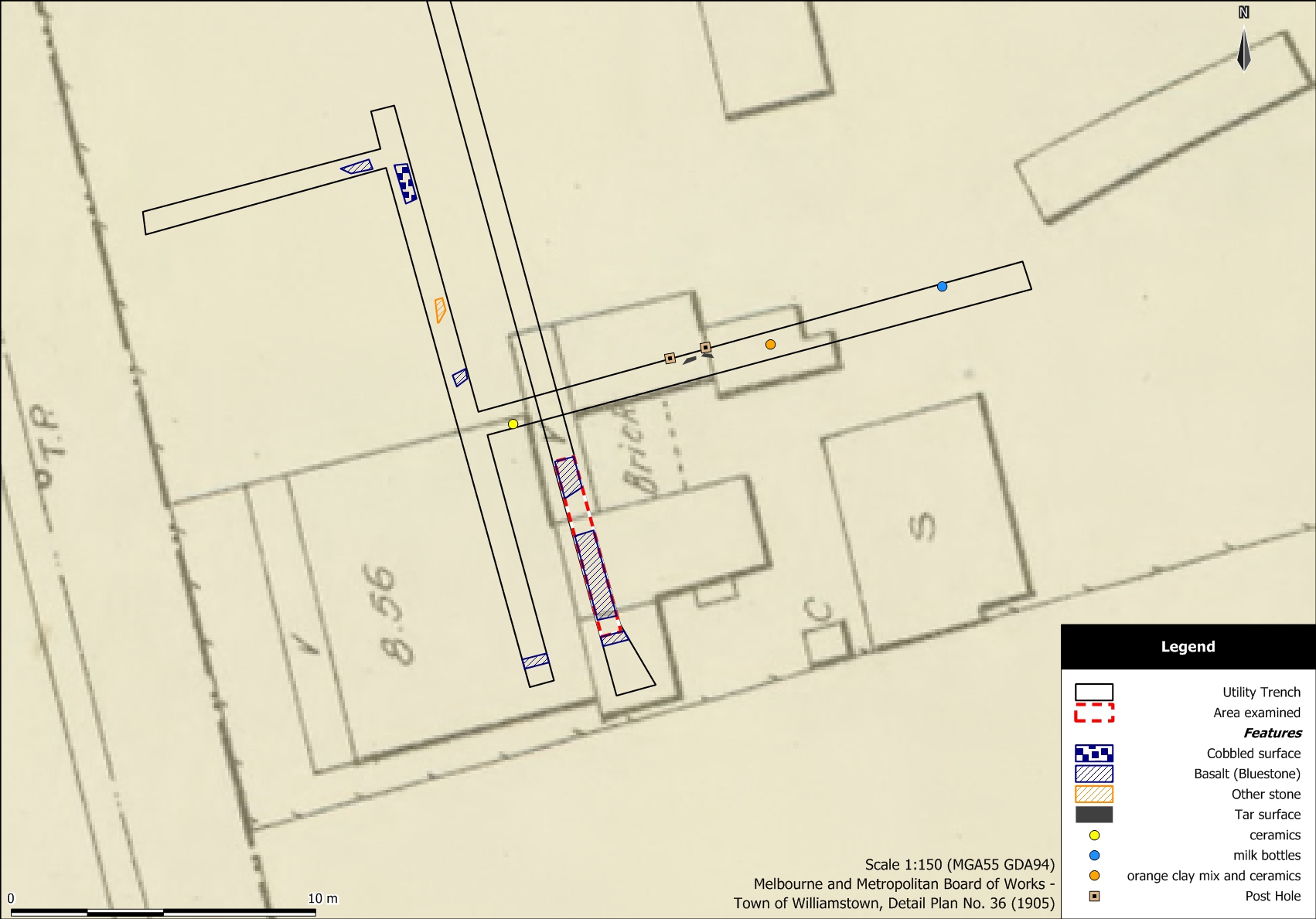
Excavated trenches and features identified overlaid on MMBW 1905 Map
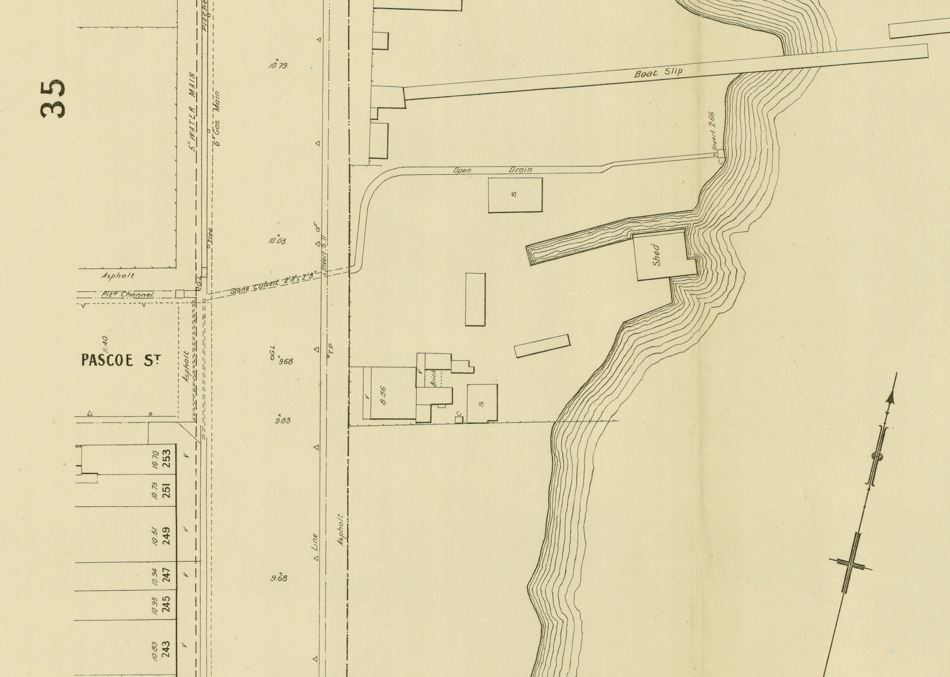
1905, detail Melbourne Metropolitan Board of Works
Last year we completed a cultural heritage assessment for the Royal Victorian Motor Yacht Club, which is building a new clubhouse, designed by Simon Greenwood Architects. This involved studying the site’s history and carrying out an archaeological inspection of trenches being excavated to install services.
In the mid-19th century, the Hobsons Bay foreshore was used for informal docking and boat building, and it had a reputation for poor sanitation. From the 1860s, land east of Nelson Place was reclaimed, and boat yards and jetties were built. The subject land had a small canal and jetty by 1877, and from the 1880s it was the premises of Coe & Son, timber merchant (Victorian Heritage Inventory number H7822-0547).
The timber yard is shown on a detailed map produced by the Melbourne and Metropolitan Board of Works in 1905. From the 1920s, the site was a depot of the Victorian Dredging Department before the Victorian Motor Yacht Club was granted a lease in 1936. In the 1950s, more land was reclaimed to the east of the site, which is the location of the clubhouse.
Our research found that the clubhouse is on land reclaimed in the 1950s. We georeferenced and overlayed the 1905 map on a modern aerial image to pinpoint where trenches near Nelson Place might intersect with former buildings. Inspection of these places found basalt foundations and artefacts of the 19th and early 20th century. Successive changes to the land meant that the archaeological deposits were in a disturbed condition. However, the project shed light on the changing usage of the Hobsons Bay foreshore, and demonstrated the benefits of integrating historical information with contemporary aerial imagery.
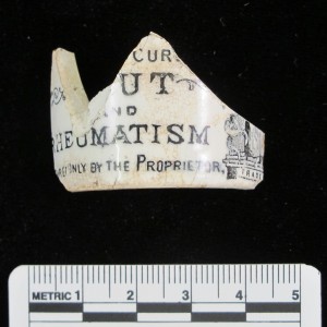
Holloway’s Ointment Jar, c. 1840s – 1860s
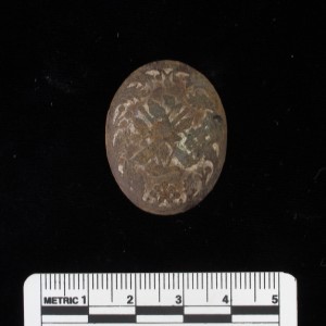
Brooch
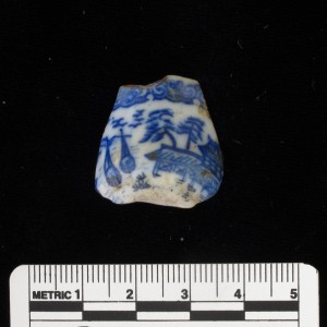
Miniature cup with blue transfer print ‘Willow Ware’ design, from a child’s tea set