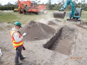
Aboriginal Cultural Heritage
Victorian Archaeology Colloquium 2019
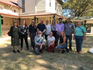
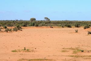
Above: The VCA team at the 2019 Victorian Archaeology Colloquium On Friday 1st February 2019, archaeologists from Dr Vincent Clark & Associates presented the results
Above: The VCA team at the 2019 Victorian Archaeology Colloquium On Friday 1st February 2019, archaeologists from Dr Vincent Clark & Associates presented the results
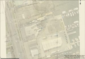
Williamstown was once envisaged as the main settlement of Port Philip Bay. Named in 1837 after the ruling British monarch, William IV, the peninsula was

Next week sees some of our staff members presenting a paper at the Victorian Archaeology Colloquium at La Trobe University. This is the fourth time
Following on from our iArchaeology post from August, we thought we would take the opportunity to share some our experiences making use of the iPad
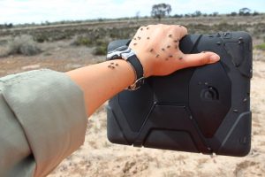
The search for the ultimate archaeological multi-tool, especially one that improves data collection, collation and generation, is an ongoing process. Ever since the late 1920s,
The third annual Victorian Archaeology Colloquium will be held next week at La Trobe University, an event that is fast becoming an unmissable date in